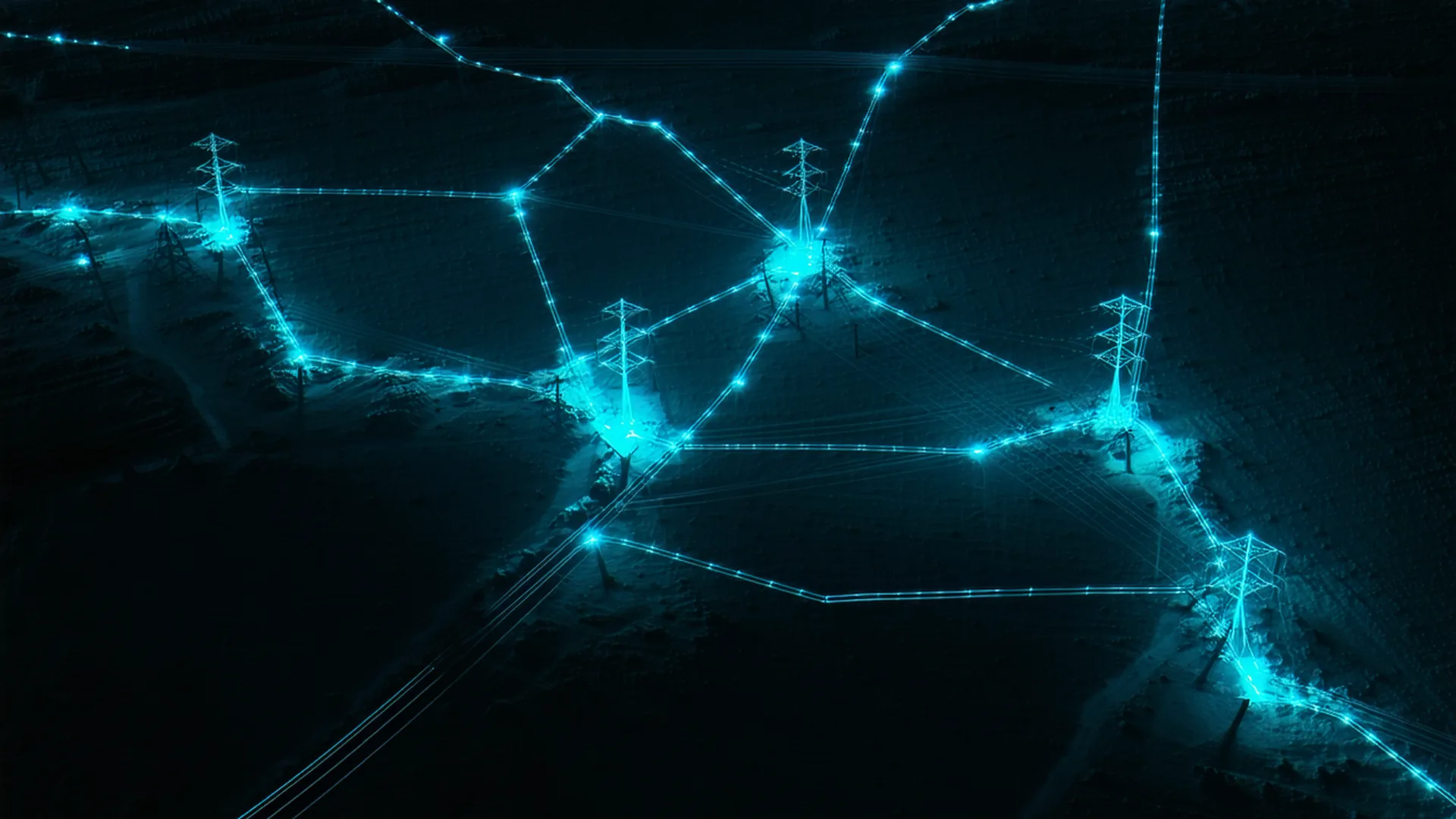
Larx helped us spot changes earlier in the monitoring process, often before they would have surfaced through a scheduled patrol. The shared spatial view made it easier to assess an event and decide what needed attention.
Geospatial Infrastructure Intelligence
One spatial view. Every sensor feed, image, and video.
Larx fuses satellite imagery, live video, and IoT sensor data into a unified geospatial picture so infrastructure and utility teams can detect, assess, and act without switching tools.
3
Core feed types: satellite imagery, live video, and IoT sensor data
750
Corridor miles supported on the Professional plan
1
Unified spatial view for infrastructure and utility monitoring teams
The Problem
Infrastructure teams drown in fragmented data
Satellite passes, camera feeds, and sensor streams arrive in separate platforms with separate logins, separate alerts, and no shared spatial context.
When a high-wind event hits a 400-mile corridor, an operations team should know within minutes which towers, lines, and substations need attention. Today, that assessment takes hours of cross-referencing disconnected tools.
- Satellite passes and live video are siloed in separate portals, forcing analysts to mentally stitch together a scene they can never see whole.
- IoT sensor alerts fire without spatial context, so dispatchers must manually locate which asset triggered before routing a crew.
- Reporting across systems requires manual data exports, introducing lag and errors into post-incident analysis and regulatory filings.
3-5
Separate tools to check for one incident, reported by teams in our early-access user survey
2+ hrs
Lost correlating incident data across fragmented tools, based on pilot program feedback
1+
Dispatches without complete spatial context reported by teams in our early-access user survey
The Larx Platform
Every feed. One geospatial picture.
Larx ingests satellite imagery, live video, and sensor telemetry simultaneously and renders them onto a single interactive spatial canvas your team can act from directly.

Core Capabilities
Built for operational speed
Satellite Imagery Fusion
Ingest multi-source satellite passes at up to 30cm resolution and align them automatically to your asset registry.
Live Video Overlay
Stream CCTV and drone feeds onto the spatial canvas with sub-second latency so visual assessment stays geographically anchored.
IoT Sensor Telemetry
Pull from any MQTT, OPC-UA, or REST sensor endpoint and pin alerts to exact asset locations with full historical context.
What Larx Does
Three data streams. One coordinated response.
Larx treats each data stream as a layer in a shared spatial model, so alerts from any source immediately show every operator where to look and what to do.
Satellite Imagery
Daily to sub-hourly passes from commercial providers, ingested, georectified, and overlaid with your asset layer for direct change detection.
Explore imagery layerLive Video
Fixed and mobile camera feeds, including drone streams, rendered at their exact geographic coordinates with automatic anomaly flagging.
Explore video layerIoT Sensors
Temperature, vibration, pressure, current, and environmental sensors from any vendor, normalized into a common event schema and mapped spatially.
Explore sensor layer
How It Works
From raw data to actionable intelligence in four steps
01
Ingest
Connect your satellite providers, camera networks, and sensor endpoints through Larx's pre-built adapters or REST API.
02
Fuse
Larx normalizes all streams into a shared geospatial event schema and plots them against your registered asset inventory.
03
Detect
Configurable thresholds and pattern rules fire alerts when any combination of streams indicates an anomaly at a specific location.
04
Act
Dispatchers see the full picture in one view, assign field crews with geographic context, and close the loop with timestamped incident records.
Customer Results
Teams that replaced fragmented tools with Larx
We can review confirmed changes before sending a crew to the site. That has helped us avoid redundant visits and spend more time on locations that actually need field attention.
35%
Reduction in manual inspection scheduling overhead, from our early-access pilot cohort data.
Integrations
Plugs into the systems your team already runs
Larx ships with adapters for the most common infrastructure data sources. Connect in hours, not months.
MQTT Brokers
Sensor Protocol
OPC-UA
Industrial Sensors
RTSP / ONVIF
Video Streams
Planet Labs
Satellite Imagery
Maxar
High-Res Imagery
REST API
Custom Sources
Pricing
Transparent plans for every operational scale
All plans include the full sensor fusion engine. Scale data feeds and users as your monitoring footprint grows.
Monthly
Annual
Save 15%
Starter
$499
per month
$424
per month, billed annually
Save $900/yr
For single-corridor pilots and small-team operations.
- Up to 150 corridor miles monitored
- Weekly satellite change detection
- Up to 50 alert rules
Most Popular
Professional
$1,299
per month
$1,104
per month, billed annually
Save $2,340/yr
For growing operations teams managing multiple corridors and asset types.
- Up to 750 corridor miles monitored
- Daily satellite change detection
- SCADA and sensor API integration
Enterprise
Contact Sales
Contact Sales
For multi-region fleets, regulated utilities, and custom deployment requirements.
- Unlimited corridor miles and custom satellite tasking
- SSO and enterprise IAM
- SLA-backed uptime