From the Team

Field Notes

Technical articles on geospatial monitoring, satellite imagery, sensor integration, and infrastructure operations.

Geospatial

Integrating LiDAR Derivatives into Real-Time Operational Dashboards

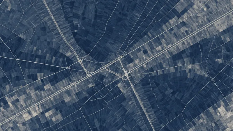
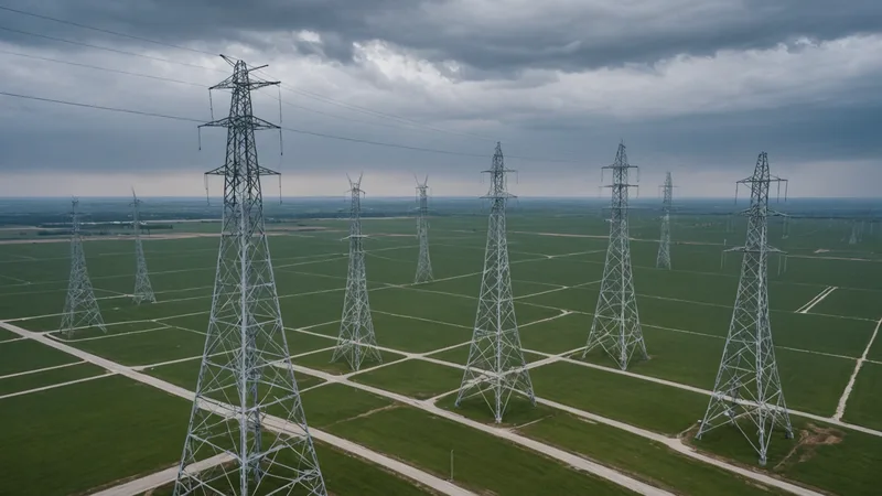
Raw LiDAR point clouds are not operationally useful on their own. The derivatives, canopy height models, ground surface models, and change-from-baseline rasters, are what infrastructure teams actually act on. Getting those derivatives into a live workspace involves more coordinate alignment than most teams expect.

Stay current

New articles in your inbox

Occasional articles on geospatial monitoring, infrastructure operations, and product updates. No noise.

You are subscribed. We will send new Field Notes as they publish.