Built by operators, for operators
Larx started with a simple observation: infrastructure teams were drowning in disconnected data streams and spending more time switching between tools than acting on what they saw.
One spatial view for every asset, feed, and alert
We fuse satellite imagery, live video, and IoT sensor data into a unified geospatial layer so infrastructure and utility teams can detect, assess, and act from a single interface, without the integration overhead.
The principles behind the platform
Ground truth first
We measure real assets at real locations. Every data layer is anchored to physical infrastructure, not proxies or interpolations.
Speed over ceremony
Field teams and control rooms need decisions in minutes. We build for the operator under pressure, not the analyst building quarterly reports.
Scoped for the field
Larx features are designed around field and control-room workflows, not data science workbenches. If it does not help someone act faster, it does not ship.
Responsible observation
Satellite and sensor data carry access and compliance obligations. We build appropriate controls into every layer of the platform from day one.
The team behind Larx
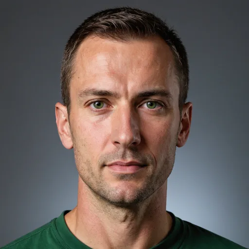
Tad Mielnicki
CEO & Co-Founder
Tad managed geospatial monitoring programs for infrastructure and environmental agencies in the DC region before co-founding Larx. He saw firsthand how fragmented sensor and imagery workflows slow down field decisions, and built Larx to put every feed in one spatial view.

Marcus Chen
CTO & Co-Founder
Marcus worked in applied geospatial AI at a large earth observation research program, turning multi-source remote sensing pipelines into operational products. At Larx, he leads the data ingestion architecture that fuses satellite, video, and IoT feeds into a live spatial layer.

Sarah Okonkwo
Head of Business Development
Sarah brings enterprise SaaS and public-sector sales experience from mid-Atlantic utility and infrastructure markets, where she built a track record navigating long government-adjacent procurement cycles. She works with utilities, pipeline operators, and program offices to match monitoring workflows to the right product tier.
How we got here
Larx Begins in Arlington
Larx, Inc. was incorporated in Arlington, VA in 2024. The founding team began building an initial ingestion engine for satellite imagery and live video, with an early focus on transmission corridor monitoring. This established the foundation for a unified spatial view for infrastructure teams.
Core Spatial Layer Takes Shape
The team built the core spatial layer and began developing an IoT sensor overlay. This work brought sensor data into the same spatial context as imagery and video, helping shape the platform's unified view for infrastructure, utility, and environmental monitoring work.
First Infrastructure Pilot Deployments
In late 2024, Larx began its first pilot deployments with mid-Atlantic infrastructure teams. The pilots tested the unified spatial view concept in practical monitoring workflows and gave the team an early basis for refining the product while keeping the scope focused on infrastructure use cases.
Angel Round Supports Product Development
Larx closed a $100,000 angel round on 2025-08-15. The round gave the small team room to continue product development and expand its pilot program, while keeping the work focused on infrastructure, utility, and environmental monitoring teams.
Serving Three Monitoring Verticals
In 2025-2026, Larx is serving infrastructure, utility, and environmental monitoring teams with a geospatial decision-intelligence platform. The platform fuses satellite imagery, live video, and IoT sensor data into one unified spatial view, while the team continues to develop the product within its early-stage scope.
See how Larx fits your monitoring workflow
Whether you operate transmission corridors, utility grids, or environmental compliance zones, we can walk through a live demo with your asset types and data sources.