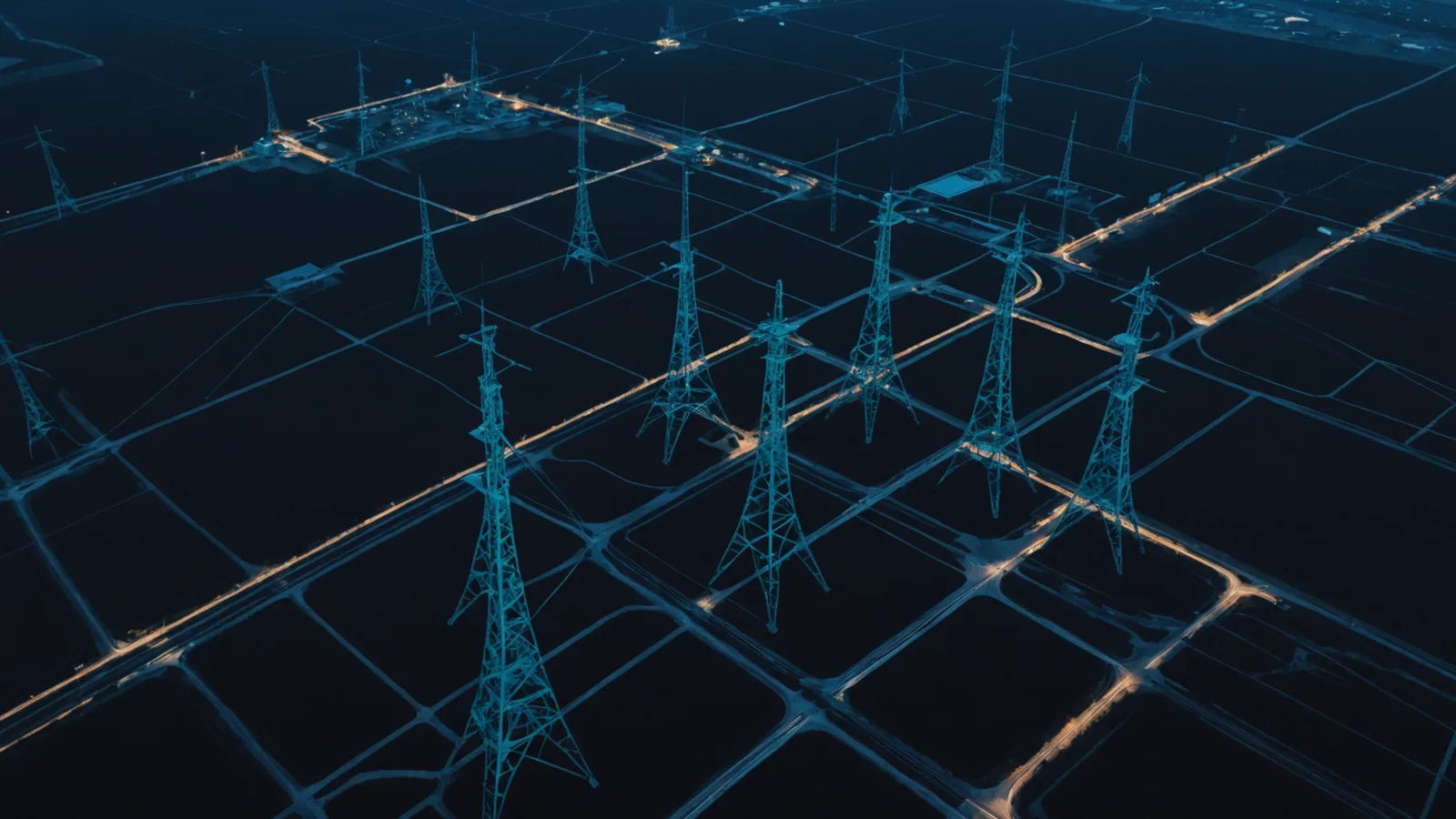
Everything your team monitors, in one coordinate space.
Larx connects satellite imagery, video feeds, and sensor data into a single spatial stream indexed by location and time.
Core architecture: data in, decisions out.
Larx aligns time-series sensor data to coordinates through three layers: ingestion, spatial indexing, and the unified operational view your team accesses.
Data ingestion layer
Every feed, whether hourly satellite pass, near-real-time camera stream, or SCADA polling interval, enters through a normalized ingestion layer that records source, timestamp, and geographic reference. No data source requires identical formatting.
- Satellite passes, camera RTSP streams, and SCADA telemetry all accepted
- Irregular cadences handled automatically without manual patching
- Each record tagged with coordinates before it enters the index
Sensor fusion that handles real-world data quality.
Infrastructure data is messy. Satellite passes are hourly. Cameras run near-real-time. SCADA polls at its own interval. Larx resolves mixed cadences without manual patching.
Sub-meter spatial alignment
Larx corrects sub-meter coordinate offsets between sources so every feed lines up to the same ground reference, regardless of collection method.
Irregular scan interval handling
Feeds that arrive at irregular intervals, gaps, or duplicates are normalized to a consistent timeline so change analysis reflects real events, not data gaps.
Feed dropout recovery
When a sensor feed drops out, Larx maintains the last confirmed state and flags the gap visually so your team always knows whether they are looking at live data or a held value.
Multi-source confidence scoring
Each spatial event is scored by how many independent sources confirm it. A change detected by satellite imagery and corroborated by a sensor reading carries higher confidence than a single-source event.
Automated detection that understands your boundaries.
Define your zones, set your thresholds, and let Larx alert your team when conditions trip. No ML configuration required.
The spatial AI alert engine lets you draw zones on any monitored area and configure thresholds for change magnitude, encroachment distance, or sensor reading variance. When conditions exceed your defined limits, the system fires to the channels your team already uses.
Alerts route to email, webhook endpoints, or REST API consumers without any additional middleware. Your NOC receives the same alert format regardless of what triggered it.
Each alert includes the triggering event, the zone it references, the data sources that confirmed it, and a snapshot of the spatial view at detection time. Your team has the context to decide what to do next without logging into a separate system.
Zone definitions, threshold configurations, and alert routing are managed through the same workspace interface your team uses for monitoring. No separate admin console, no engineering support needed to adjust sensitivity.
Built for teams, not just analysts.
Shared workspace with role-based access, annotation tools, and exportable reports designed for operations and compliance workflows.
Role-based access
Assign view, edit, or admin permissions per user. Field technicians see their assigned zones; managers see the full asset portfolio.
Annotation layer
Tag anomalies, add notes, and attach photos to any point in the spatial view. Annotations are visible to all permissioned team members in real time.
Exportable reports
Generate PDF summaries and CSV data exports for any time range, zone, or asset group. Formatted for regulatory submissions and internal review cycles.
Full audit log
Every configuration change, alert acknowledgment, and export is recorded with timestamp and user identity. Supports regulatory compliance review without manual documentation.
Connect what you already operate.
Larx is built to ingest from the sensors and data systems real infrastructure teams run, not just clean APIs.
SCADA over Modbus/DNP3
Direct ingestion from SCADA systems using Modbus TCP, Modbus RTU, and DNP3 protocols. No middleware or format conversion required.
ArcGIS layer sync
Sync existing ArcGIS feature layers into Larx. Your current GIS boundaries and asset geometries become the reference frame for all sensor feeds.
RTSP camera feeds
Ingest RTSP streams from fixed IP cameras at any site. Video frames are geo-tagged and timestamped to align with satellite and sensor events.
File-based data drops
Accept GeoTIFF rasters, shapefiles, and CSV telemetry via watched folder or SFTP drop. Batch ingestion runs on configurable schedule.
REST API
Send data from custom sensor builds and internal systems through a documented REST API. JSON schema, authentication via API key or OAuth 2.0.
Webhook alert export
Push alert payloads to any webhook endpoint. Larx delivers structured JSON on each event so downstream systems can act without polling.
View all integrations