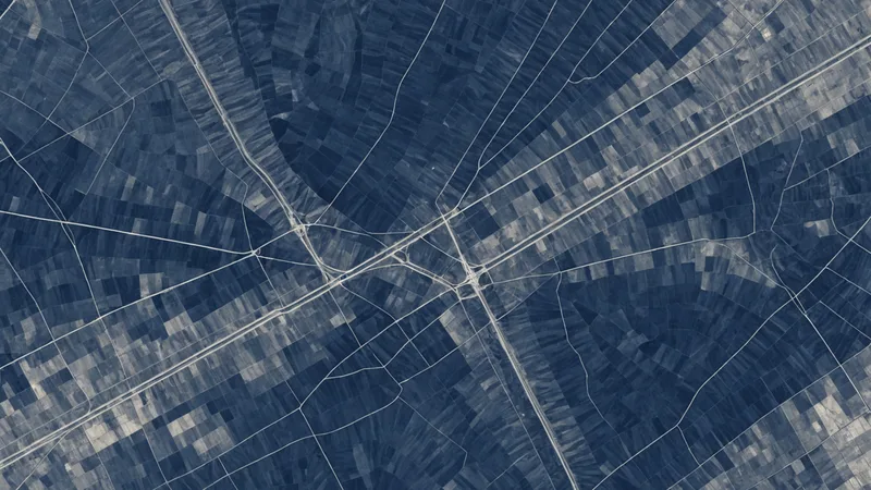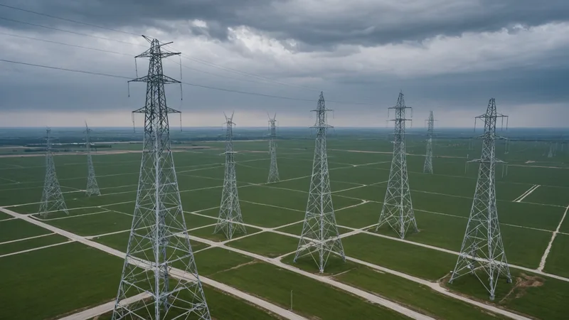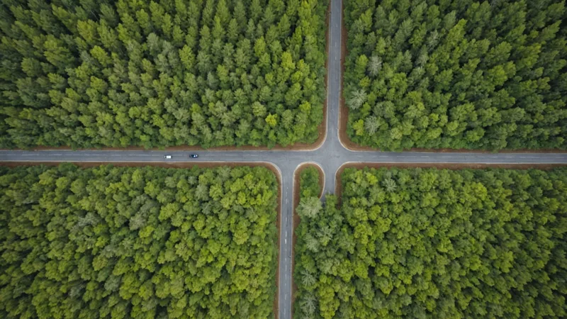
Detecting Encroachment Along Utility Corridors Using Automated Spatial Analysis
Encroachment, structures, vegetation, or activity that crosses a defined easement boundary, is one of the highest-value things automated spatial analysis can catch early. Here is how the detection pipeline works and what threshold choices affect false positive rates the most.